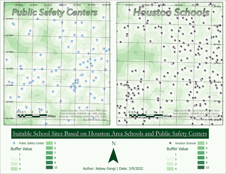
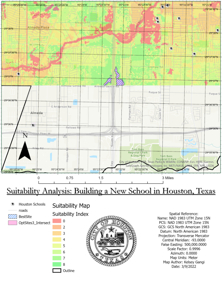
This project was completed when I was in Dr. Shubab Khan’s geospatial information systems graduate course in 2022 at the University of Houston. I enjoyed the course so much, I ended up taking it twice. For this particular project, a hypothetical suitability analysis was conducted to determine optimal locations for a new school in the Houston area. In choosing the optimal location for the theoretical school, the following criteria were considered:
- Locations of existing schools
- Road Network within Houston Area
- Boundary of Houston City Limits
- Flood Plain Data
- Harris County Land Use
- Public Safety (Fire station, police station, & hospital proximity)